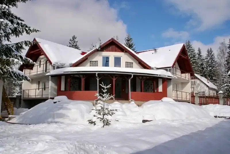
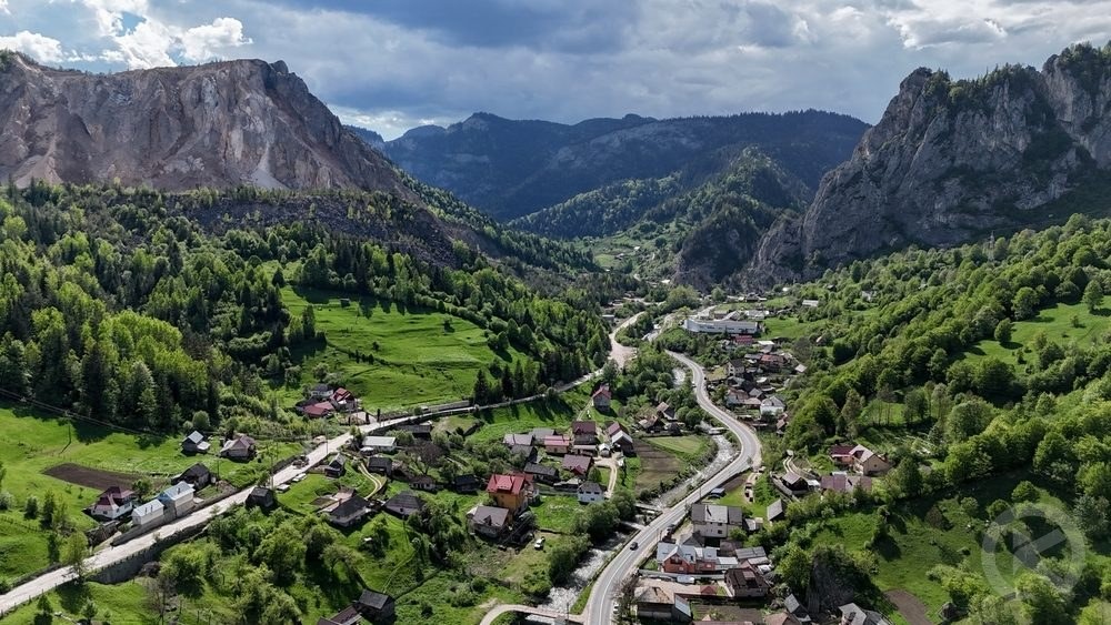
Mountain village, climatic resort, and starting point for hiking trails in the Eastern Carpathians.
Location and General Overview
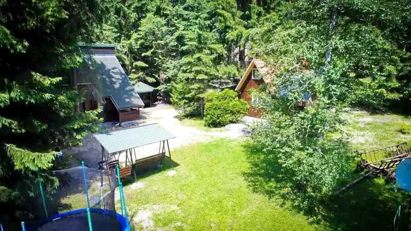
Izvoru Mureșului (Hungarian: Marosfő) is a mountain village located in Harghita County, Romania, at the foothills of the Hășmașul Mare Mountains (1,793 m) and the Fekete‑Rez / Negru Mountains (1,538 m). It lies at the watershed of the Mureș and Olt rivers and is known for its scenic landscapes and clean mountain air.
The village has a railway station and is accessible via DN12 road:
• ~23 km from Gheorgheni (Gyergyószentmiklós)
• ~40–45 km from Miercurea Ciuc (Csíkszereda)
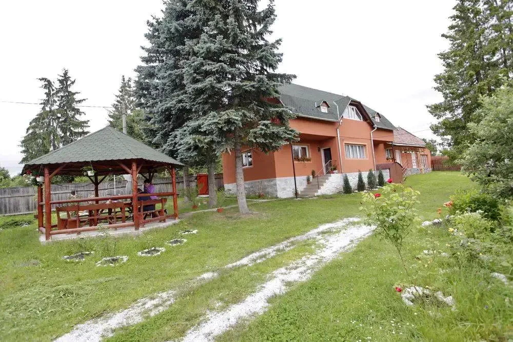
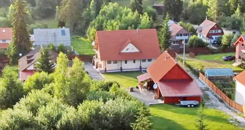
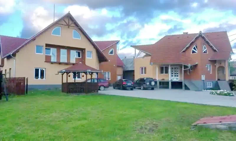
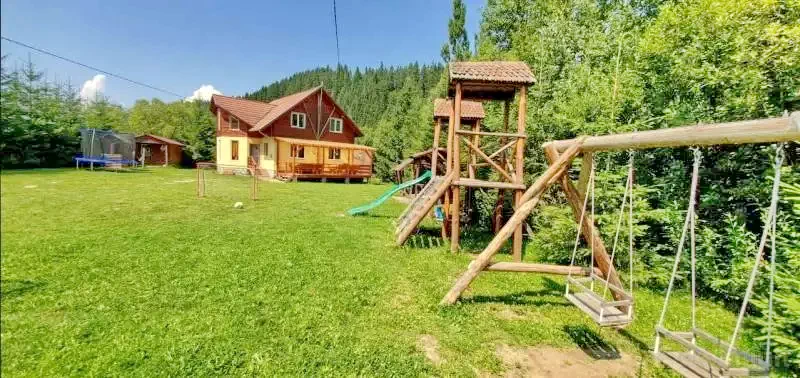
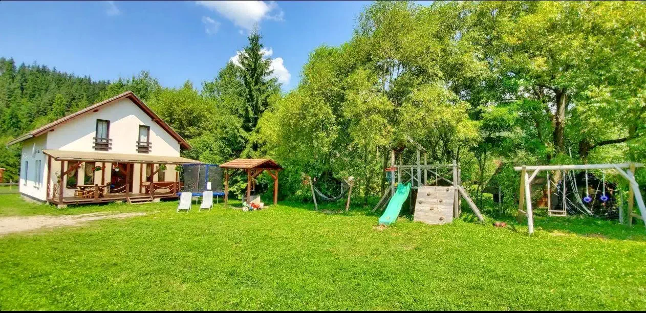
Marosfő is a historic holiday and youth camp destination, popular for mountain activities and therapeutic climate stays.
Natural Attractions
The Source of the Mureș River
The natural spring of the Mureș River (Izvorul Mureșului) is located at around 1,350 m altitude on the southern slope of the Negru Mountain. Its crystal-clear waters make it a prime hiking and photography destination.
Hiking Trails
Well-marked hiking trails are available for all skill levels:
• Mureș River Source Trail – starts directly from the village center.
• Súgó Cave – easy caving adventure for families.
• Devil’s Lake / North Hășmaș Mountains – longer panoramic mountain hikes.
Forests and Microclimate
Surrounded by beech and conifer forests, the area offers fresh, ionized air beneficial for respiratory and thyroid conditions, making it suitable for wellness-focused trips.
Ski Slope
A small ski slope is available during winter months for snow sports enthusiasts.
Cultural and Built Heritage
• Izvoru Mureșului Monastery – an important local religious site.
• Orthodox and Catholic churches.
• Bell towers and traditional buildings reflecting local heritage.
Approximate Distances by Car
Destination
Distance
Gheorgheni
~23 km
Miercurea Ciuc
~40–45 km
Băile Tușnad
~55 km
Bicaz Gorge
~70 km
Lake Sfânta Ana
~80 km
Distances are approximate based on main roads and GPS navigation (Google Maps / Waze).
Climate and Seasonality
• Summer: mild temperatures, perfect for hiking (20–25 °C).
• Winter: cold, often snowy, suitable for winter sports (‑3 to ‑10 °C).
• Spring / Autumn: variable mountain conditions, dress in layers.
The clean, ozone-rich air is ideal for physical recovery and traditional climate therapy.
???? Recommended Weekend Itineraries
Nature & Panorama Weekend
Saturday:
• Morning hike to the Mureș River Source (~2–3 hours round trip).
&…